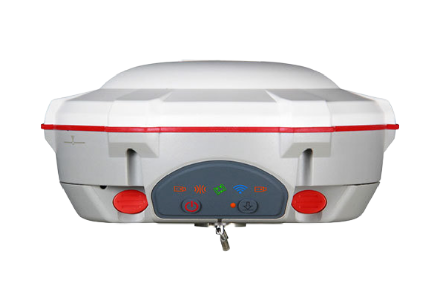
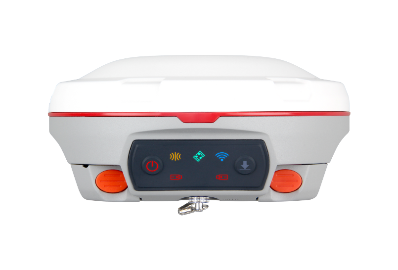
Features
Product Parameter
Download
Recommend Product
Get Quotation
Features
  • 1590 channels and 50+ satellites tracking capabilities
  • Tracking all running and planned constellations, including GPS, BDS-2, BDS-3, GLONASS, Galileo, QZSS, IRNSS, and SBAS
  • Up to 60° tilt with 2.5 cm accuracy
  • Up to 12h continuous work with 10000mAh batteries
  • Support NFC and Bluetooth connection
  • IP67 dust- and waterproof for harsh environments
01
3rd Generation IMU
By compensating for up to 60° tilt, T20 eliminates challenges associated with surveying concealed or unsafe points and maintains accuracy within 2.5cm. Also, being immune to magnetic disturbance increase reliability
02
Easy Connection
With advanced NFC, T20 can be connected automatically with a single touch. Dual mode Bluetooth 5.0 allows users to connect at higher distance and low energy standards. Tedious matching is a thing of the past
03
Stronger Performance
Integrated SinoGNSS K8 high-precision module and third generation IMU, T20 can reach high accuracy even in harsh environments, ensuring the quality of work, and have very low power consumption as well
04
Longer Battery Life
10000mAh Battery makes 12 hours day&night work possible. QC2.0 helps T20 full-charged in 5 hours, dealing with the worry about power outage
Product Parameter
Performance
Physical
Communications
Performance
  • Channel
    1590
  • Satellites tracking
    GPS: L1C/A, L1C, L2P, L2C, L5
    BDS: B1l, B2l, B3l, B1C, B2a, B2b
    GLONASS: G1, G2, G3
    Galileo: E1, E5a, E5b, E6c, E5 AItBOC
    QZSS: L1C/A, L2C, L5, L1C
    IRNSS: L5
    SBAS: L1C/A
  • Signal Re-acquisition
    ≤1s
  • Cold Start
    ≤45s
  • Hot start
    ≤15 s
  • RTK Initialization Time
    <10s
  • Initialization reliability
    ≥99.9%
  • Internal Memory
    8GB
  • Data Update Rate
    1Hz, 2Hz, 5Hz, 10Hz, 20Hz
  • Static and Fast Static
    Horizontal 2.5 mm + 0.5 ppm RMS
    Vertical 5 mm + 0.5 ppm RMS
  • Signal Baseline RTK
    Horizontal 8mm + 1ppm RMS
    Vertical 15mm + 1ppm RMS
  • Long Observation Static
    3 mm + 0.1 ppm Horizontal
    3.5 mm + 0.4 ppm Vertical
  • DGPS
    <0.4m RMS
  • SBAS
    Horizontal 0.5 RMS
    Vertical 0.8 RMS
  • Standalone
    1.5m 3D RMS
  • Tilt Survey
    up to 60° tilt with 2.5cm accuracy
Physical
  • Housing Material
    Magnesium aluminum alloy
  • Dimension
    149±1mm(φ), 48±1mm(H)
  • Weight
    670g
  • Working Temperature
    -30°C~+65°C
  • Storage Temperature
    -40°C~+85°C
  • Humidity
    100% non-condensing
  • Water- & Dustproof
    IP67
  • Shock
    Survive a 2m drop onto the concrete
  • Vibration
    MIL-STD-810G Method 514.6 procedureⅠ
  • Voltage
    5/9V
  • Power Consumption
    RX mode≤1.8W, TX mode≤3.6W
  • Over Current Protection Voltage
    30V, VBUS 9.99V
  • Charging Time
    <5h(QC2.0)>
  • Working time
    up to 13h typically
Communications
  • BT5.0 Dual-Mode BT
  • Datalink
    - Tx/Rx with full frequency range from 410-470MHz
    - Transmit power: 0.5W, 1W, 2W adjustable
    - Air Baud Rate: 9600 / 19200 adjustable
    - Range: 3-5 km
    - Protocol type: Transparent/TT450S/South/Mac
  • Range Pole Interface
    Standard 5/8'' UNC female thread
  • Datalink port
    TNC
  • USB
    Type-C
  • Serial Port
    Support serial communication
  • Correction data I/O
    RTCM2.X, 3.X, CMR(GPS only), CMR+(GPS only)
  • Position data output
    - ASCII: NMEA-0183 GSV, RMC, HDT, GGA, GSA, ZDA, VTG, GST; PTNL, PJK; PTNL, AVR; PTNL, GGK
    - ComNav Binary update to 20 Hz
Download
  • SinoGNSS T20 Palm GNSS Receiver_V2.pdf(1.43MB)
    2024-05-30
Recommend Product
Get Quotation

Product name

Expected price

Number of reservations

Operation

Name

Cell phone *

Mailbox *

Inquiry content