A Successful RTK UAV Mapping Project with DJI Phantom 4 RTK and SinoGNSS T300 Plus
 1 Project Overview
A rural residential area in Shanghai covering 250000m2 needs to be measured and mapped to obtain a high-accurate map. Featuring large area, time pressured and inadequate staffing, using traditional surveying methods is challenging to complete the project.Thus, an excellent solution combining of Phantom 4 RTK (hereinafter referred to as P4R) and T300 Plus GNSS receiver is proposed with no image control points, short-time field work and labor-saving.
2 Challenges
➤ The rural environment is covered with poor 4G network as normally base stations and UAVs transmit correction streams via 4G.
➤ No image control points will reduce the workload but cause no accuracy validation.
➤ Project operators are faced up with technical challenges as the new land surveying method is different from the traditional one largely.
3 Benefit
Less Workload: Compared with traditional UAV mapping, RTK drone mapping depends less on control points as it is high-precision, which will reduce the workload in a large extent.
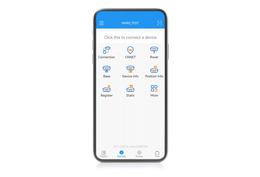
WIFI Connection: Equipped with WIFI module, T300 Plus can transmit data easily, free from the restriction of Internet.
Accuracy Validation: Except for being a base station, T300 Plus can also work as a rover to measure the coordinates of check points for accuracy validation.
Easy to Use: Easy configuration and simple workflow, no threshold for users.
PPK Backup: To prevent situations where RTK is not applicable, T300 Plus also provides PPK as a backup plan, which can be performed simultaneously with RTK.
4 Project Summary
1 × T300 Plus GNSS Receiver
5 × checkmarks
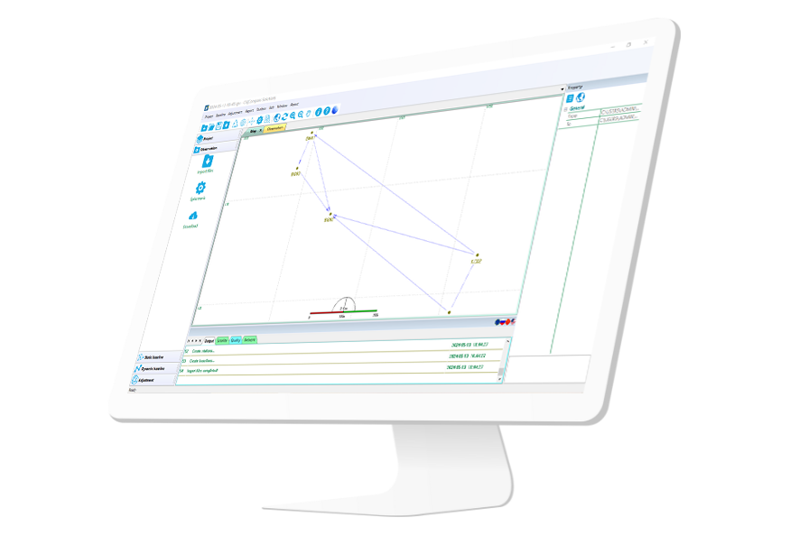
Pix4Dmapper
5 Conclusion
In conclusion, compared with traditional UAV mapping or land surveying, the RTK drone mapping with P4R manifested higher efficiency, simpler workflow and less workload. which can save both time and labor, turning a large proportion of field work into office work. The mapping solution combining a continuous and reliable T300 Plus base station with a commercial UAV rover of Phantom 4 RTK can provide centimeter-level mapping precision to meet most surveying work demands. Thus, it is both high-accuracy and cost-efficient.
As an indispensable part of this mapping solution, T300 Plus receiver played role as a powerful backup. Supporting WIFI connection enables stable correction streams transmission. Its built-in web UI makes configuration easily. PPK backup plan reduces the absolute reliance on RTK. High-accuracy rover survey realizes accuracy validation of UAV mapping. It can be said as the best-in-class base station choice of drone mapping.
More information about the case study please refer to link below.
https://cetest02.cn-bj.ufileos.com/fsite_1802020370/DJI_CaseStudy.pdf
About ComNav Technology
ComNav Technology develops and manufactures GNSS OEM boards and receivers for high precision positioning demanded applications. Its technology already been used in a wide range of applications such as surveying, construction, machine control, agriculture, intelligent transportation, precise timing, deformation monitoring, unmanned system. With a team dedicated for the GNSS technology, ComNav Technology is trying its best to supply reliable and competitive products to worldwide customers. ComNav Technology has been listed on the Shanghai Stock Exchange (Science and Technology Board), securities :ComNav Technology (Compass Navigation), Stock code: 688592.
About SinoGNSS®
SinoGNSS® is the official trademark of ComNav Technology Ltd., registered in People's Republic of China, EU, USA and Canada. All other trademarks are the property of their respective owners.